SCAN IGN® multi-échelles - Auvergne-Rhône-Alpes - 2022
Le produit SCAN IGN multi-échelles regroupe les produits suivant :
- SCAN 25 (affiché en dessous de 1:30000)
- SCAN 100 (affiché entre 1:30000 et 1:80000)
- SCAN Régional (affiché entre 1:100000 et 1:240000)
- SCAN 1000 (affiché au dessus de 1:240000)
Pour chacun des produits il est possible de les consulter en couleurs ou en noir et blanc (en niveau de gris)
Simple
- Date (Publication)
- 2004-05-01
- Edition
-
3.0
- Citation identifier
- fr-130014582-SCAN-multi-echelle
- Purpose
-
Le contenu informationnel est compatible avec des échelles de travail du 1/25000ième au 1/250000ième.
- Status
- On going
- Point of contact
-
Organisation name Individual name Electronic mail address Role Centre Régional Auvergne-Rhône-Alpes de l'Information Géographique (CRAIG)
Point of contact Institut national de l'information géographique et forestière (IGN-F)
Point of contact
- Maintenance and update frequency
- Biannually
- Theme
-
-
bâtiments
-
géographie
-
hydrographie
-
occupation des terres
-
répartition de la population, démographie
-
réseaux de transport
-
unités administratives
-
-
COVADIS themes
-
-
REFERENTIELS
-
- Specific usage
-
Echelles d'affichage
- User determined limitations
-
Echelles comprises entre le 1/10000ième et le 1/350000ième
- User contact info
-
Organisation name Individual name Electronic mail address Role Institut Géographique National (IGN-F)
Custodian
- Use limitation
-
Base de données soumise aux conditions générales d'utilisation des fichiers IGN
- Access constraints
- License
- Use constraints
- License
- Use limitation
-
Aucune contrainte
- Classification
- Unclassified
- Spatial representation type
- Grid
- Denominator
- 200000
- Language
- Français
- Topic category
-
- Imagery base maps earth cover
- Description
-
Région Auvergne-Rhône-Alpes
))
- Unique resource identifier
- RGF93 Lambert 93
- Codespace
-
urn:ogc:def:crs:IGNF:1.1
Spatial representation info
- Distribution format
-
Name Version TIF
6.0
TFW
1.0
TAB
4.5
Distributor
- Distributor contact
-
Organisation name Individual name Electronic mail address Role Institut Géographique National (IGN-F)
Distributor
- Fees
-
Voir catalogue des prix IGN
- Ordering instructions
-
Voir site internet www.ign.fr
- Units of distribution
-
Dalles
- OnLine resource
-
Protocol Linkage Name WWW:LINK-1.0-http--link
https://www.ign.fr/ Site de l'IGN
WWW:LINK-1.0-http--link
https://www.geoportail.gouv.fr/ Site du Géoportail
OGC:WMS
https://tiles.craig.fr/ign/service? scans_grayscale
OGC:WMS-1.3.0-http-get-map
https://tiles.craig.fr/ign/service? scans_ign
- Hierarchy level
- Series
Conformance result
- Date (Publication)
- 2013-10-21
- Explanation
-
Non évalué
- Pass
- Non
- Statement
-
Assemblage des SCAN 25®, SCAN 100®, SCAN Départemental® et SCAN Régional®
Content Information
Métadonnées
- File identifier
- 8fae296c-182a-402e-83ac-a0178bdff64e XML
- Metadata language
- Français
- Character set
- UTF8
- Hierarchy level
- Series
- Hierarchy level name
-
Produit
- Date stamp
- 2025-04-29T13:54:00.044760764Z
- Metadata standard name
-
ISO 19115
- Metadata standard version
-
2003 Cor.1:2006
- Metadata author
-
Organisation name Individual name Electronic mail address Role Institut national de l'information géographique et forestière (IGN-F)
Point of contact
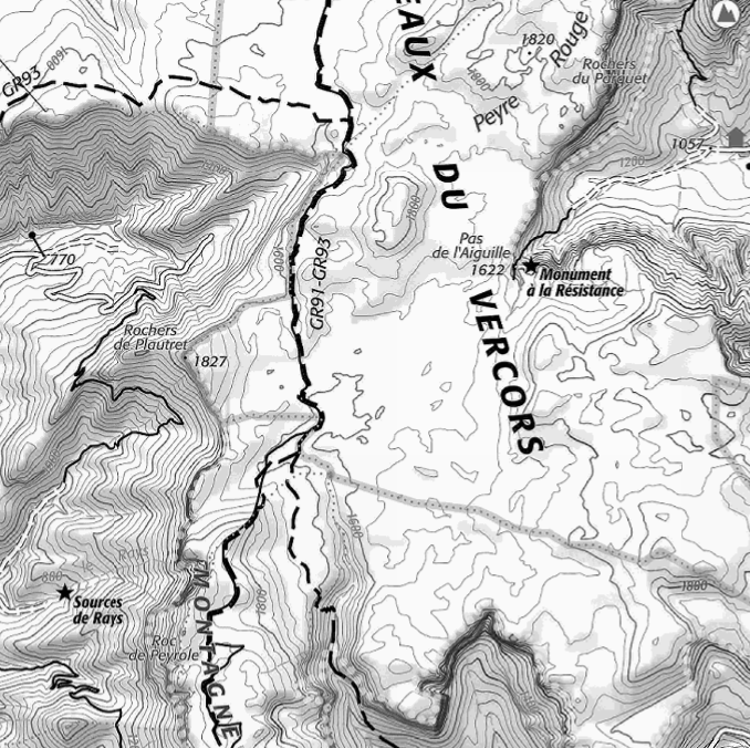
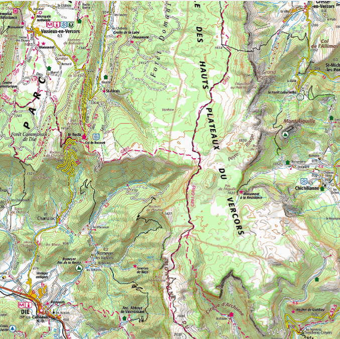
Aperçus
Étendue spatiale
Fourni par
