 Catalogue de donnees
Service tuilé de consultation (WMS, WMTS) - Plan de corps de rue simplifié - Auvergne-Rhône-Alpes
Le service présente les informations suivantes :
- tuiles d'orthophotographie produites à partir de prises de vues à haute résolution (5 cm) à jour et historique
- localisation et année de vol des dalles d'orthophotographies
- affleurants (voir fiche de métadonnée associée)
Simple
Identification info
- Date (Revision)
- 2017-05-30T16:04:55
- Cited responsible party
-
Organisation name Individual name Electronic mail address Role Centre Régional Auvergne-Rhône-Alpes de l'Information Géographique (CRAIG)
Owner
- Point of contact
-
Organisation name Individual name Electronic mail address Role Centre Régional Auvergne-Rhône-Alpes de l'Information Géographique (CRAIG)
Owner
- Theme
-
-
OrthoImagery
-
infoMapAccessService
-
imageryBaseMapsEarthCover
-
ORTHOPHOTOGRAPHIES
-
ORTHOPHOTOPLANS
-
RTGE
-
OGC:WMS
-
WMS 1.3.0
-
WMTS 1.0.0
-
tiles.rtge.craig.fr
-
tiles.rtge.craig.fr/service
-
PCRS
-
ANTI-ENDOMMAGEMENT
-
RESEAUX
-
DT-DICT
-
- Access constraints
- Other restrictions
- Other constraints
-
Accès limité aux partenaires financeurs du fond de plan RTGE. Contacter le CRAIG pour plus d'informations
- Aggregate Datasetindentifier
- c25bf051-2618-4d1e-94ce-14302ad42212
- Association Type
- Source
- Initiative Type
- Collection
- Service Type
- OGC:WMS
- Service Version
-
1.3.0
- Fees
-
None
))
- Coupled Resource
-
Operation Name Scoped name Identifier GetCapabilities
undefined 7c3e9d23-903c-4bfe-8126-a3038bcd513b
GetCapabilities
undefined b848fa57-468e-4568-9e76-d1c8b3e0fff5
GetCapabilities
undefined 4b39ec3b-4606-424f-ad8e-056f521ba61f
GetCapabilities
undefined 7294b96e-ad24-42a8-8fcb-5db6427bf0ba
GetCapabilities
undefined 73867843-63be-4f79-9e1c-fb115617de74
GetCapabilities
undefined 5102fa7b-f88d-4052-a7cb-f310a35054c6
GetCapabilities
undefined d960c006-cf25-476c-a86f-622bd3ab2168
GetCapabilities
undefined 4950ca62-f43f-42db-bfa7-5f6cc1271c16
GetCapabilities
undefined 5d4c48e7-f5be-4a65-87df-083837a7b121
GetCapabilities
undefined b0cc36e7-2f3b-4fdb-b235-1cb26f8f9d86
GetCapabilities
undefined 34c509f5-58f9-4ed6-ac61-154369e3db92
GetCapabilities
undefined 1c2d32e0-6232-44a9-b1bb-e634db6bb534
GetCapabilities
undefined 93aebe95-85fc-4177-b407-64d9c28e465b
GetCapabilities
undefined 67939060-884e-4d4c-9a7a-9a46298ef7d4
GetCapabilities
undefined a206d3ea-936b-495b-a39b-0a195d9e61b2
- Coupling Type
- Tight
- Contains Operations
-
Operation Name Distributed Computing Platforms Connect Point GetCapabilities
HTTP-GET https://tiles.craig.fr/rtge/service? GetMap
HTTP-GET https://tiles.craig.fr/rtge/service? https://tiles.craig.fr/rtge/service? GetFeatureInfo
HTTP-GET https://tiles.craig.fr/rtge/service? https://tiles.craig.fr/rtge/service? https://tiles.craig.fr/rtge/service? sld:GetLegendGraphic
HTTP-GET https://tiles.craig.fr/rtge/service? https://tiles.craig.fr/rtge/service?
- Operates On
-
- PCRS - Département de l'Allier
- Orthophotographie couleur - Agglomération de Moulins - PVA hiver 2016
- Orthophotographie couleur - Agglomération de Vichy Val d'Allier - PVA hiver 2016
- Orthophotographie couleur - Agglomération de Montluçon - PVA hiver 2016
- Orthophotographie couleur - Secteur de Bellenave (03) - PVA hiver 2013
- Orthophotographie couleur - Allier 2 zones - PVA 2018
- PCRS - Département du Puy-de-Dôme
- PCRS - Département du Cantal
- PCRS - Département de la Haute-Loire
- Orthophotographie couleur - Agglomération de Valence Romans - PVA 2018
- Orthophotographie couleur - Commune de Riom (63) - PVA hiver 2013
- Orthophotographie couleur - Agglomération de Clermont-Ferrand - PVA hiver 2016
- Orthophotographie couleur - Est du Cantal - PVA hiver 2017
- Orthophotographie couleur - Sud de Clermont-Ferrand (De La Roche-Blanche à Saint-Yvoine) - PVA automne 2015
- Orthophotographie couleur - Métropole de Saint-Étienne (SEM) - PVA hiver 2017
- Distribution format
-
- OnLine resource
-
Protocol Linkage Name application/vnd.ogc.wms_xml
https://tiles.rtge.craig.fr/service?
- Hierarchy level
- Service
Métadonnées
- File identifier
- 4fc8f6a8227ac538102189a6eaec9464c1eb2d4b XML
- Metadata language
- Français
- Character set
- UTF8
- Hierarchy level
- Service
- Hierarchy level name
-
undefine
- Date stamp
- 2025-12-12T09:10:14.937711146Z
- Metadata standard name
-
ISO 19119/2005
- Metadata standard version
-
1.0
- Metadata author
-
Organisation name Individual name Electronic mail address Role Centre Régional Auvergne-Rhône-Alpes de l'Information Géographique (CRAIG)
Owner Centre Régional Auvergne-Rhône-Alpes de l'Information Géographique (CRAIG)
Owner
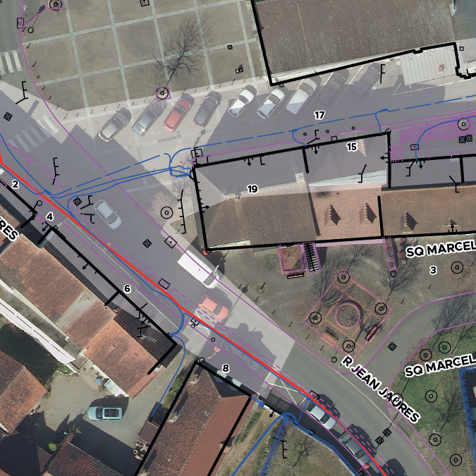
Aperçus
Étendue spatiale
Fourni par
